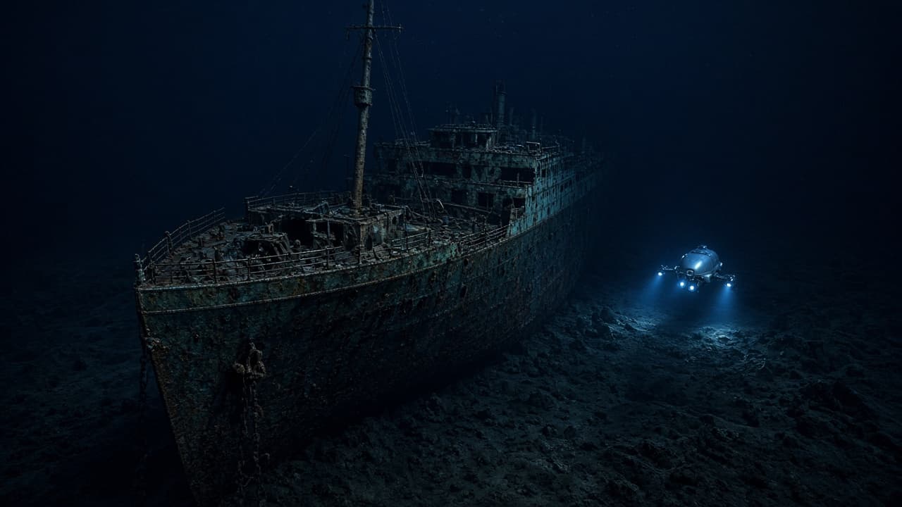
On this day: the Titanic wreck is found
On 1 September 1985, a Franco-American team led by Robert Ballard located the wreck of RMS Titanic on the North Atlantic seabed. Sonar and deep-sea cameras turned a 1912 legend into a mapped archaeological site.
On 1 September 1985, explorers located the wreck of RMS Titanic more than 12,000 feet down in the North Atlantic. A joint French and American effort, with oceanographer Robert Ballard among the leaders on the U.S. side, used sonar and remotely operated cameras to find the debris field and then the broken hull. The ship that sank on 15 April 1912 after hitting an iceberg was no longer only a story. It was a place.
Start with why finding a wreck that deep is hard. The ocean floor there is cold, dark and under crushing pressure. Human divers cannot swim down casually with flashlights. Searchers need ships on the surface, towed sonar that "hears" the shape of the seabed, precise navigation and vehicles that can take cameras into the dark. A miss of a few miles on a chart can mean days of empty water.
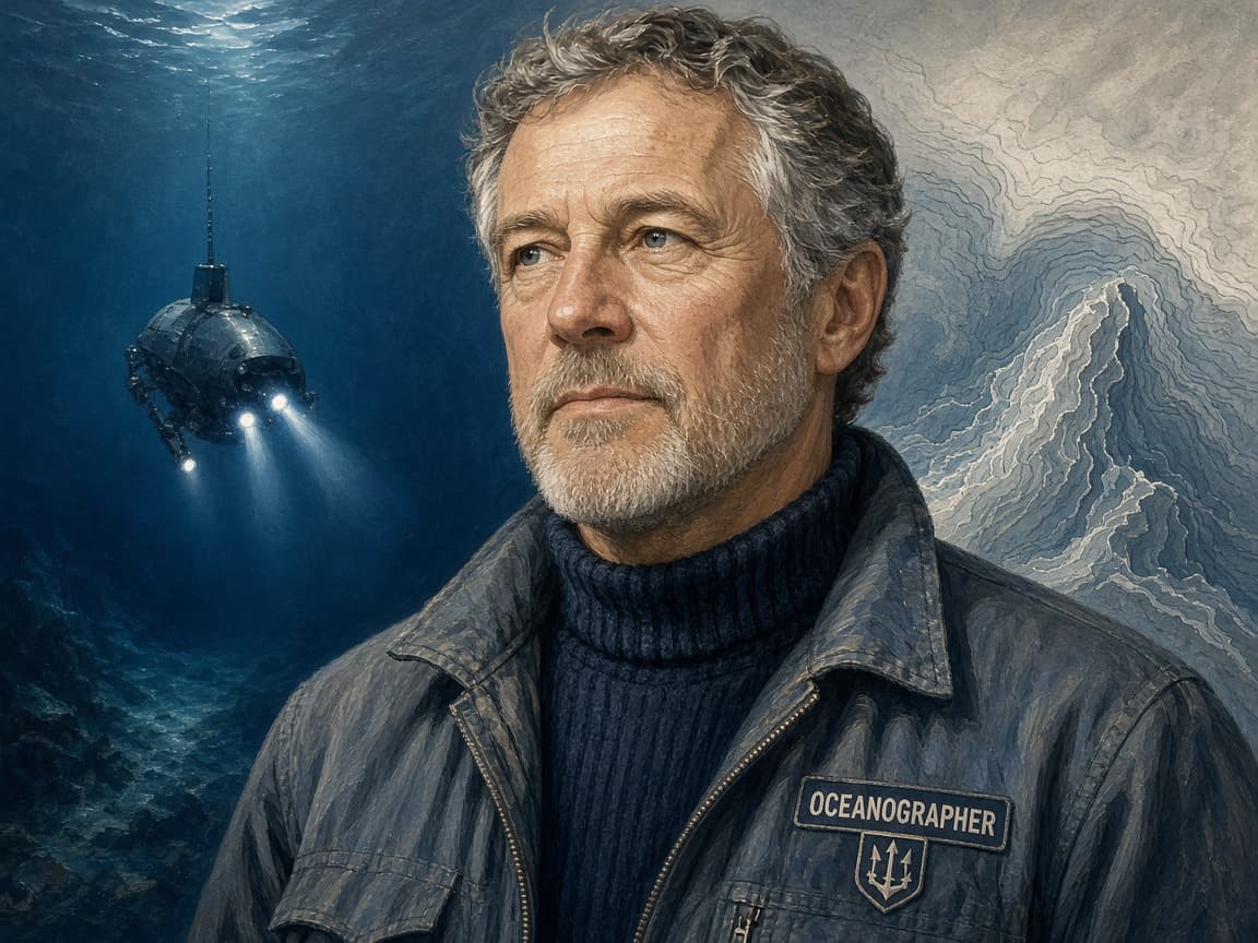
Robert Ballard led the 1985 expedition that located RMS Titanic's wreck on the North Atlantic seabed, combining U.S. and French search assets. Ballard's oceanographic career had already included hydrothermal vent work. The Titanic hunt used that deep-sea craft sense plus a search pattern aimed at a debris field rather than only a hull silhouette. His portrait belongs with the discovery because public memory often skips the method and keeps only the romance of finding the ship. French sonar first narrowed the box; American cameras then confirmed the boilers and hull sections.
The Argo camera sled towed above the seafloor streamed video to the ship while operators watched for coal, fittings and finally the boiler field that pointed to the broken liner. Deep-tow search trades speed for coverage: long lines, careful navigation and patience. Once located, Titanic proved to lie in two main sections with a wide debris scatter. The sled diagram teaches why discovery was engineering before it was elegy. Cameras on a leash found what divers never could. Debate over salvage ethics began almost as soon as the first clear wreck images reached shore.
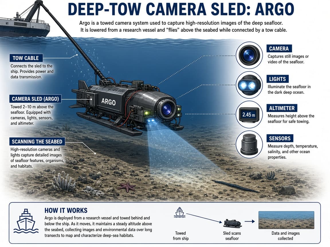
How the 1985 search worked, in plain steps. French researchers first used sonar to sweep likely search boxes based on distress-position history and currents. The American team then flew a camera sled called Argo close to the bottom, watching video for man-made shapes. A trail of coal, crockery and twisted metal (the debris field) led them to the bow section. Later surveys showed the ship had broken apart as it sank; the stern lay at a distance from the bow.
Ballard had also been involved in classified work locating sunken nuclear submarines. Techniques refined for those searches (systematic sonar grids, deep camera towfish) transferred to the Titanic hunt. The public story was romance and history. The method was disciplined ocean engineering: cover ground, recognize signatures, confirm with optics.
What scientists and historians gained went beyond postcard images. The wreck showed how the hull failed, how objects scattered and how soft deep-ocean life colonizes steel. Debates followed about salvage ethics. Should dinner plates come up for museums and auctions or should the site be treated as a maritime grave? Different countries and companies answered differently over the following decades. Ballard argued early for leaving the main memorial undisturbed while documenting it. For the wider public, 1985 reset the Titanic myth. Films, books and exhibitions already existed. Live wreck imagery made the disaster concrete again: a boiler here, a railing there, a shoe in the silt. Later crewed dives and new camera systems added detail. Rusticles (iron-eating microbial structures) reminded viewers that the site is changing, not frozen forever. Teaching the find means teaching the ocean as a laboratory. Pressure, darkness and distance force remote sensing. Sonar is sound used as sight. A remotely operated vehicle is a swimming robot on a tether. Those tools now map hydrothermal vents, plane crash sites and volcanic seafloors. Titanic was a celebrity case of a broader deep-sea toolkit.
The human story stays attached to the steel. More than 1,500 people died in 1912 because of speed, ice warnings poorly heeded, too few lifeboats and class barriers in evacuation. Finding the wreck does not rewrite those causes. It gives physical evidence to a tragedy that had lived mostly in testimony and inquiry transcripts.
Navigation accuracy improved with acoustic beacons and careful dead reckoning from the surface ship. Even so, the search boxes covered many square miles of abyssal plain. Patience was a scientific instrument as much as Argo's lights. When the first boiler appeared on the video monitor, the room's mood shifted from survey routine to historic certainty within seconds.
Later seasons of exploration mapped the bow's burial in sediment, the stern's catastrophic twisting and thousands of artifacts in between. Microbiologists studied how iron-reducing bacteria build rusticles that slowly consume the steel. The wreck is disappearing on a human timescale. That fact raises fresh questions about what to document now versus what to leave untouched.
Ballard's public lectures and books translated deep-ocean method for general audiences. Schools that teach Titanic only as a 1912 morality play about hubris can add 1985 as the chapter where engineering made memory physical. The iceberg story and the sonar story belong together.
Eagle Frame's takeaway: 1 September 1985 is when sonar grids and deep cameras turned Titanic from legend into a mapped wreck. Keep Ballard's debris-field method and the bow-stern break in mind. Treat salvage debates as ethics questions sitting on top of ocean science.