Nepal’s August flash flood: how a glacier collapse tore through the valleys
A collapse near Langtang Lirung sent a debris surge down the Trishuli corridor on 26 August. Here is what happened, why, and what was destroyed.
On 26 August 2026, a sudden surge of water, ice, mud, and rock tore through river valleys in northern Nepal and across the border into Tibet. The event is widely described as a flash flood, but the trigger was not ordinary monsoon rain alone. Early assessments point to a large ice avalanche or glacier collapse near Langtang Lirung that dumped a huge mass into the headwaters of the Trishuli and Bhotekoshi systems within minutes.
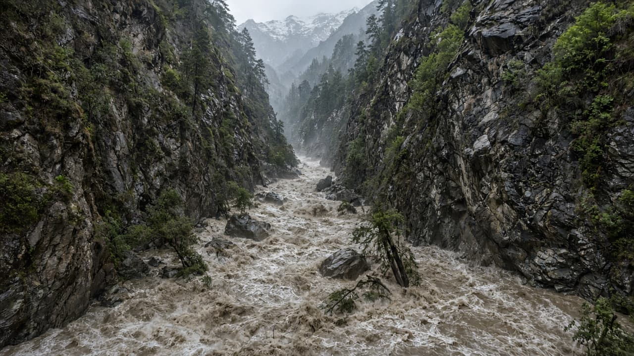
Flash floods in the Himalaya move fast because the valleys are steep and narrow. When a glacier face fails, ice and rock can slam into a river channel, dam water briefly, then release a debris-laden wave. That mix of water and sediment is heavier than clear floodwater. It can strip roads, push bridges off their piers, and bury riverside houses under silt. Officials and responders in Rasuwa and Nuwakot reported a corridor of destruction stretching tens of kilometers downstream.
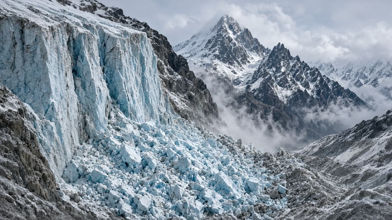
Why here, and why now, is still under investigation. Himalayan glaciers are warming and retreating, which can leave steep ice walls less stable. Heavy monsoon moisture can also load slopes and raise river levels before a collapse. Scientists and disaster agencies have cautioned against a single simple explanation while field teams study the scar on the mountain, the deposit along the channel, and any temporary lake that may have formed and breached. What is already clear is the sequence: a high-mountain failure, a rapid channel surge, then cascading damage as the wave raced downhill.
Human losses remain severe and still incomplete. By early September, Nepali authorities and international summaries put confirmed deaths in Nepal above 1,300, with several thousand people still listed as missing. Search teams also reported deaths and missing persons on the Tibetan side of the border. Early police bulletins after the disaster listed hundreds of missing travelers and security personnel in Rasuwa alone, including foreign pilgrims heading toward the Kailash Mansarovar route. Identification has been slow because many bodies were carried far downstream, some reported as far as India.
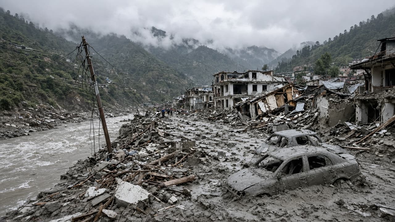
The flood hit communities that live and work along the river. Settlements in and around Timure, Dhunche, Syabrubesi, Mailung, Betrawati, Trishuli, and Devighat faced inundation or burial under debris. Government tallies circulating in early September put thousands of houses destroyed nationwide from this event, along with dozens of public buildings and several health facilities. Survivors lost not only homes but livestock, shops, documents, and the tools of daily work. Downstream districts such as Dhading, Gorkha, and Chitwan also reported flood impacts as the surge and its debris moved on.
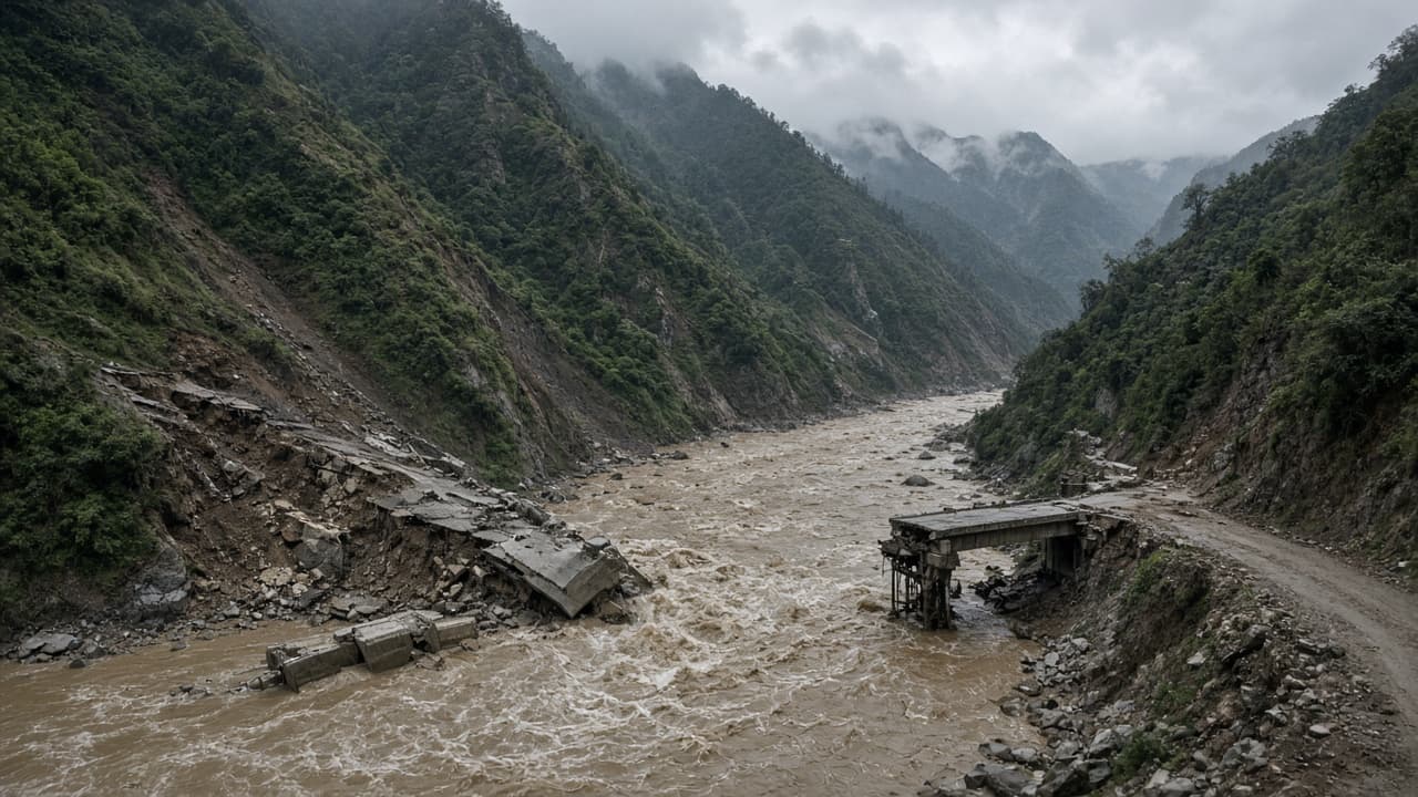
Transport damage cut one of Nepal’s most important northern corridors. The Department of Roads reported that the road linking Betrawati in Nuwakot to the Rasuwagadhi border crossing was destroyed at multiple points over roughly 42 kilometers, including bridges. A further stretch toward the border that had been upgraded with Chinese financing was also washed out. When the flood hit the border area, reports said hundreds of vehicles waiting near the crossing were swept away. That single corridor matters for trade with China and for pilgrimage traffic. Closing it strands goods, workers, and rescue logistics at once.
Power infrastructure took a direct hit. The Nepal Electricity Authority reported damage across more than a dozen hydropower projects with a combined capacity in the hundreds of megawatts, including plants and construction sites along the Trishuli system such as Rasuwagadhi, Chilime, Sanjen, Upper Trishuli-1, Trishuli, and Devighat, plus related substations. Early same-day estimates moved upward as inspectors reached sites. For a country that relies heavily on Himalayan hydropower, losing that capacity stresses the national grid and delays projects that were meant to add new supply.
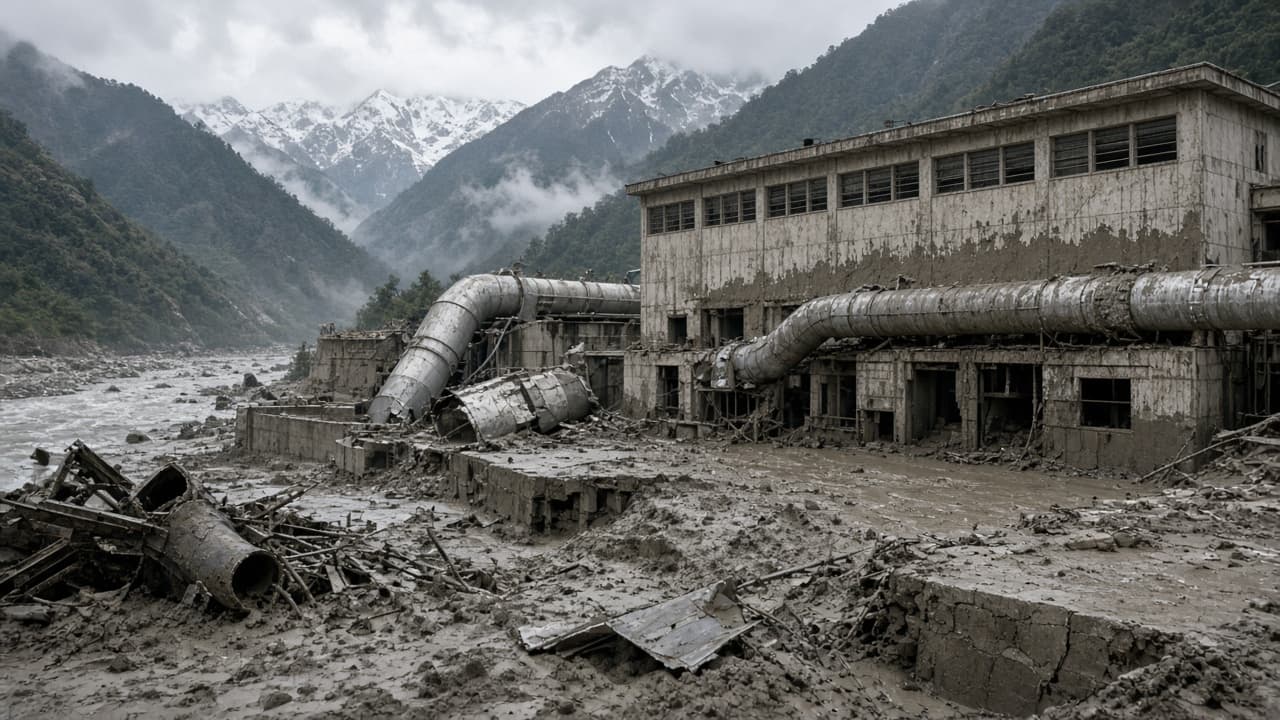
Banks, customs posts, schools, and telecom lines also failed in the same narrow corridor. Reports after the disaster said several commercial bank branches were swept away, with staff unaccounted for, and that the Rasuwa customs office in Timure lost contact with employees. UNICEF and partners later described damaged schools and health access for children in Rasuwa, Nuwakot, Dhading, and nearby districts. When roads, power, and phones fail together, rescue helicopters and foot teams become the main way in, which slows both lifesaving work and damage counts.
The economic bill is large for Nepal’s budget size. Preliminary government damage figures reported in early September ran to hundreds of billions of Nepali rupees, on the order of more than $2.5 billion in widely cited summaries. Other analysts put broader economic losses higher once trade disruption, tourism, and unfinished projects are included. Exact totals will change as engineers finish inspections. The direction is already clear: this is a national-scale reconstruction problem, not only a local relief operation.
Climate risk is part of the longer story. The Himalaya is warming faster than the global average in many assessments, and Nepal has faced deadly monsoon floods and landslides in recent years as well. A glacier collapse is a different trigger from multi-day rain over Kathmandu, but both show how water, steep slopes, and crowded river corridors can combine into sudden disaster. Stronger early warning, land-use limits in flood paths, and tougher design standards for roads and hydropower sites are now central policy questions for the new government as well as for donors.
What to watch next is the missing-persons list, temporary shelter needs before winter, and whether the Rasuwagadhi trade route can reopen in stages. Hydropower repairs will take months to years depending on tunnel and intake damage. Readers should treat early casualty videos and unverified social posts carefully; official tallies have moved daily since 26 August. The core facts are already heavy enough: a high-mountain collapse, a fast debris flood, and a corridor of towns, roads, and power plants left torn open.